Ranking the total waterway coverage by country, from highest to lowest.
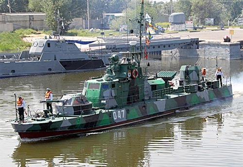
Waterway Coverage is tracked as the total available distance of usable water lanes internally accessible to any one nation within the scope of the GFP formula. Access to waterways allow for rapid movement of various goods and military forces when serviceable roads and railways prove limiting. In peacetime, waterways are critical to commerce and trade while, in times of war, waterways provide warplanners with routes for movement of man, machine, and supplies to critical areas.
For the purposes of the GFP ranking, some nations report a waterways value of 0km (ex: Qatar) while others showcase no value at all (ex: Israel). These values are per the CIA World Factbook.
Values below displayed in Kilometers (km). Data presented on this list is through 2024.
The GlobalFirepower.com logo is a trademark of this website and is protected by all applicable domestic and international intellectual property laws. The published content of the pages contained herein is unique to this website (unless where indicated) and not for reuse in any form. About: GlobalFirepower.com is an annually-updated, statistics-based website tracking defense-related information of 145 nations and exists as a wholly-independent resource. Part of the Military Factory network of sites that includes MilitaryFactory.com, WDMMA.org, and WDMMW.org. No A.I. was used in the generation of this content.